UTAH – CANYONLANDS NATIONAL PARK – Shafer Trail
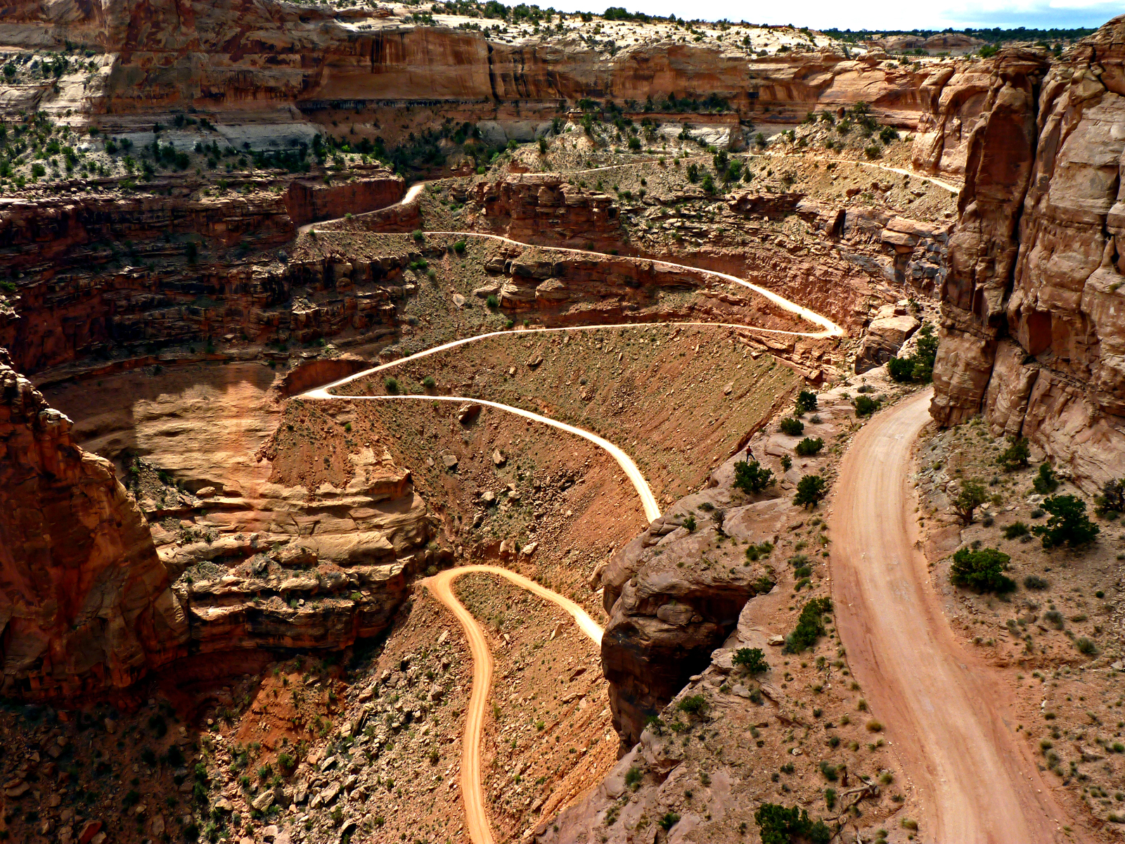
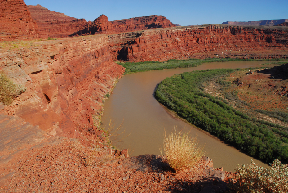
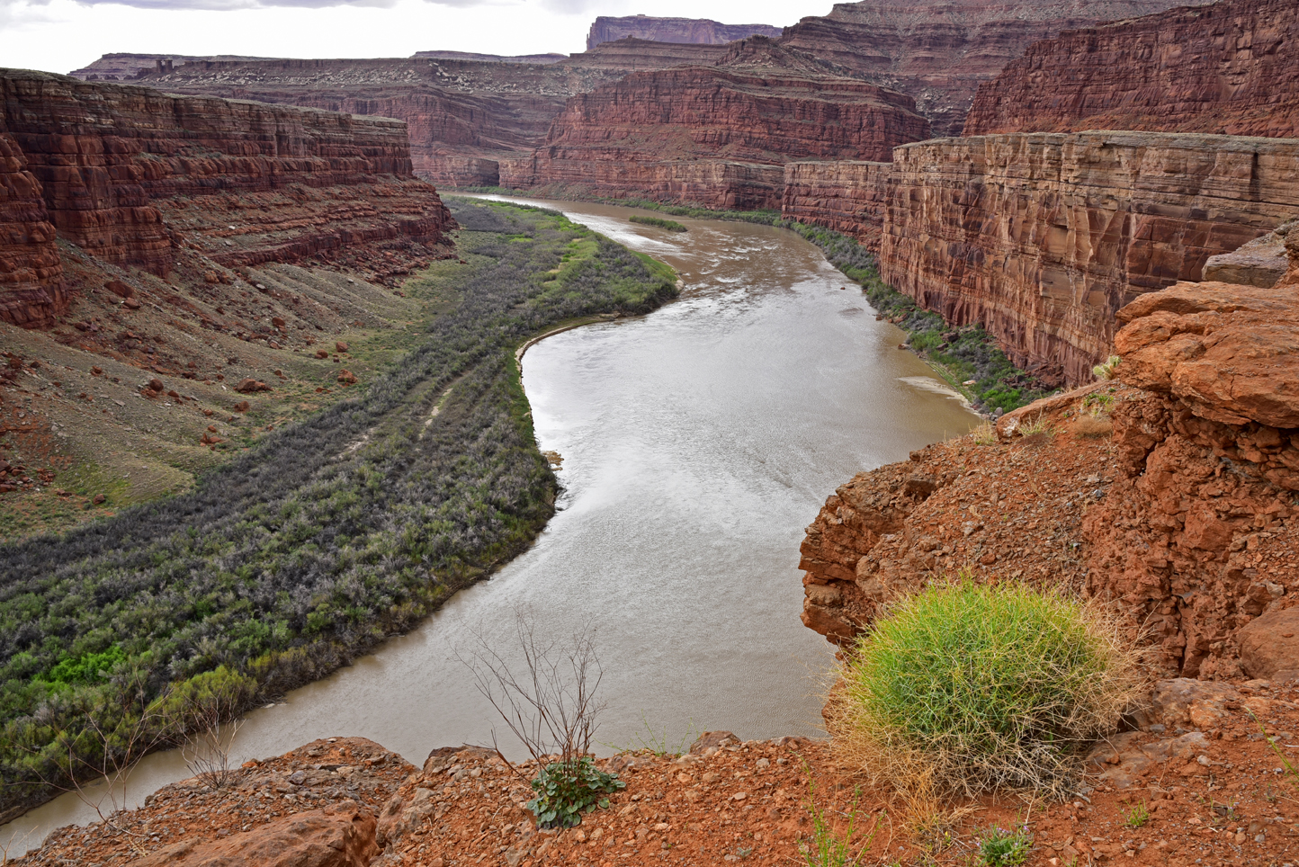
Notes: In all of the traveling Jean and I have done, one of our most memorable excursions was driving Shafer Trail. In the early 1900s, this dirt road was used as a way to get livestock up and down from high pastures on the plateau. Later it was used as a route to transport uranium ore. Today, this is one of the most scenic, easy 4WD roads I know of. Although this route can be driven beginning in Moab, Utah, I recommend starting from a couple of miles inside the Island in the Sky entrance into Canyonlands. (An entrance fee or appropriate pass is required for entry into the park.) A couple of cautionary notes: The first 1.5 miles of Shafer Trail is a 1,500-foot serpentine descent down a cliff face. There are no guardrails. If you have a fear of heights, you should probably avoid this road. In addition, I recommend a high-clearance 4WD vehicle for this adventure. (Jeeps may be rented in Moab.) After the initial descent and your heart rate returns to normal, put away the defibrillator and enjoy some remarkable views. A few miles to the east, Shafer Trail leaves the National Park and journeys across BLM land. Along this section, there are several places where the road kisses the rim of the mighty Colorado River.

&spsp.; &spspspsp;